


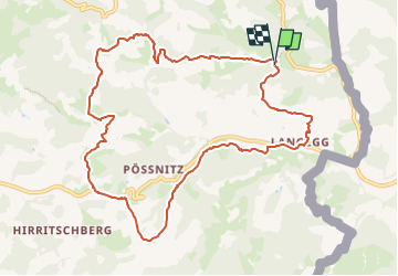

19.8 km | 29 km-effort

Tous les sentiers balisés d’Europe GUIDE+


FREE GPS app for hiking
 SityTrail
IGN / Geographical institutes
SityTrail World
The world is yours!
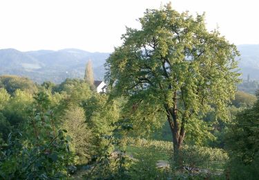
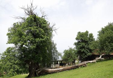
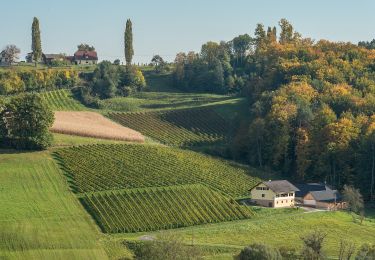
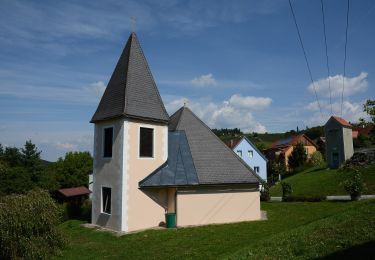
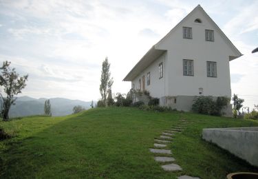
Trail On foot of 10.7 km to be discovered at Styria, Bezirk Leibnitz, Leutschach an der Weinstraße. This trail is proposed by SityTrail - itinéraires balisés pédestres.
Symbol: Beschilderung "Glanzer Hoftour"
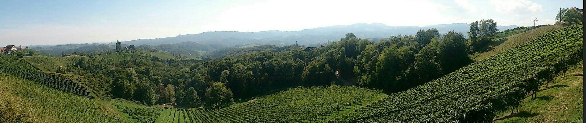
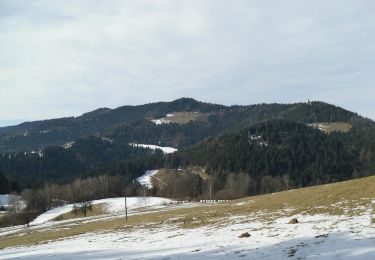
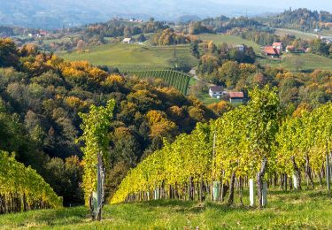
 - Photo 1")
 - Photo 2")
 - Photo 3")
 - Photo 4")
On foot
On foot
On foot
On foot
On foot
On foot
On foot
On foot

On foot